The Drone Angle/Aerial Solutions

Don’t risk yourself or your personnel doing aerial inspections
Let our Drones do it for you.

© Drone Angle 2018
Gallery
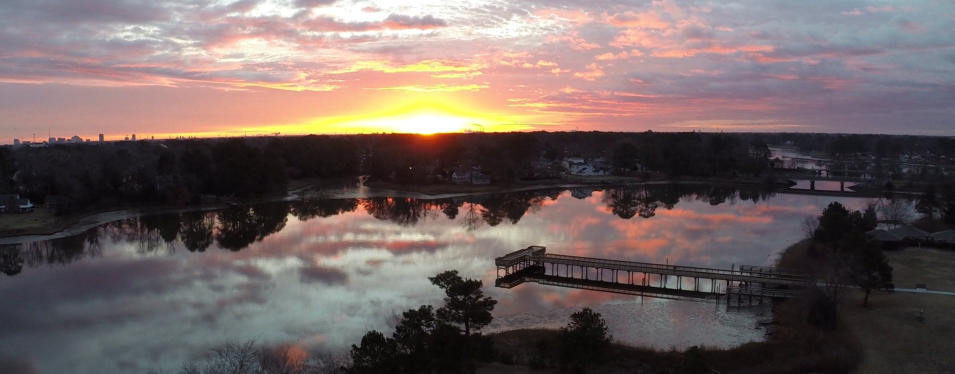
Just some typical photos from different
inspections
Some of these were taken with a GoPro3+ Camera attached to a 3DR Solo Drone. The GoPro3+ can provide video with 4K resolution at 15 frames a second or fixed photographs at 12 Megapixels. The 3DR Solo is stable, versatile, and can reliably support visual inspections as is. It can fly autonomous repetitive routes taking pictures or video. Through the Solex application, it can map and provide Geotagged images for general survey purposes. There are specific mapping cameras, higher resolution cameras, and thermographic cameras available for it. The Yuneec Typhoon H+ provides 4K Video at 60 frames a second and again, 12 megapixels at a slightly narrower camera angle. It has the added safety advantage of six rotors (can lose one and still fly) and smart obstacle avoidance. All of the mapping pictures were taken with the Typhoon H+


Drone Angle/Aerial Solutions

Don’t risk yourself or your personnel doing aerial inspections
Let our Drones do it for you.

© Drone Angle 2018

